Things to Do at Valley of Fire State Park
Red sandstone, rock art and desert life in the Mojave
The Landscape at a Glance
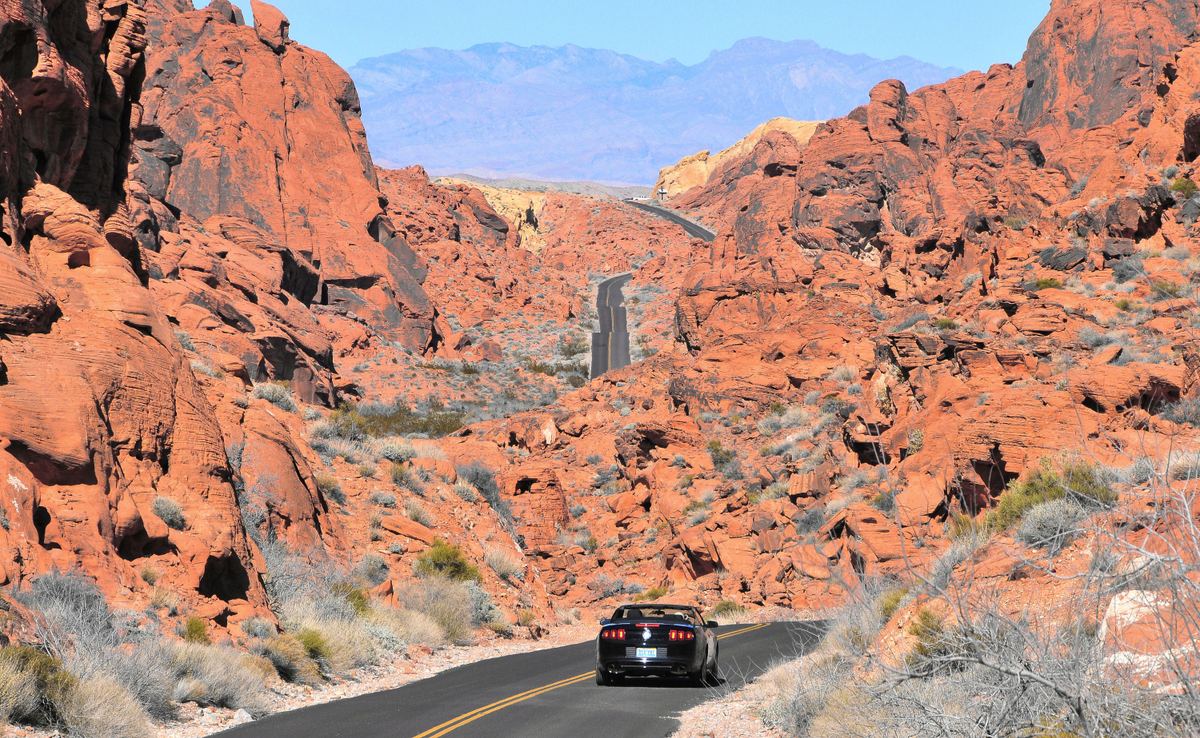
Valley of Fire sits in the Mojave Desert at an elevation of 1,320 to 3,009 feet (402 to 917 m). The park is 16 miles (26 km) south of Overton, Nevada, and it lies in a basin measuring 4 by 6 miles (6.4 by 9.7 km). On its east side it abuts Lake Mead National Recreation Area.
A 50-mile (80 km) northeast bearing from Las Vegas leads to the park, which lies in the Mojave Desert.
| Measure | Value |
|---|---|
| Distance south of Overton, Nevada | 16 miles (26 km) |
| Distance northeast of Las Vegas | 50 miles (80 km) |
| Elevation range | 1,320 to 3,009 feet (402 to 917 m) |
| Basin size | 4 by 6 miles (6.4 by 9.7 km) |
| Area of red Aztec sandstone outcrops set in gray and tan limestone | 40,000 acres |
Red Sandstone and How It Formed
The red Aztec Sandstone that gives the park its name formed from shifting dunes about 150 million years ago. It is an Early Jurassic formation of mainly windblown sand, exposed in the Mojave Desert of Arizona, California and Nevada. Wind-deposited sand from the Jurassic period survives as the park's sandstone.
Uplifting and faulting of the region, followed by extensive erosion, created the landscape seen today. The park covers 40,000 acres of red Aztec sandstone outcrops set in gray and tan limestone.
Aztec sandstone from ancient dunes also appears in the Bowl of Fire, in the Lake Mead area near the park.
Petroglyphs, Petrified Trees and Early Peoples
The park contains petrified trees and petroglyphs dating back more than 2,000 years. Early people moved into southern Nevada as far back as 11,000 years ago.
The area was home to Ancestral Puebloan farmers from the nearby Moapa Valley between roughly 300 BC and 1150 AD.
Name, Roads and Status
An AAA official in the 1920s viewed the valley at sunset and said it looked as though it were on fire; that remark coined the name. A rough road built through the area in 1912 as part of the Arrowhead Trail connected Salt Lake City with Los Angeles.
On June 30, 1995, the 10.5-mile section of Valley of Fire Road running between the east and west entrances was designated a Nevada Scenic Byway. No Nevada state park is older than Valley of Fire.
Founding Years and Recognition
The Civilian Conservation Corps began work on the park in 1933, building campgrounds, trails, stone cabins, ramadas and roads. The park opened in 1934, and the state legislature officially designated it in 1935. In 1968 the park received National Natural Landmark status.
| Year | Milestone |
|---|---|
| 1933 | Civilian Conservation Corps begins work on campgrounds, trails, stone cabins, ramadas and roads |
| 1934 | Park opens |
| 1935 | Official designation by the state legislature |
| 1968 | Designation as a National Natural Landmark |
Desert Plants, Wildlife and Heat
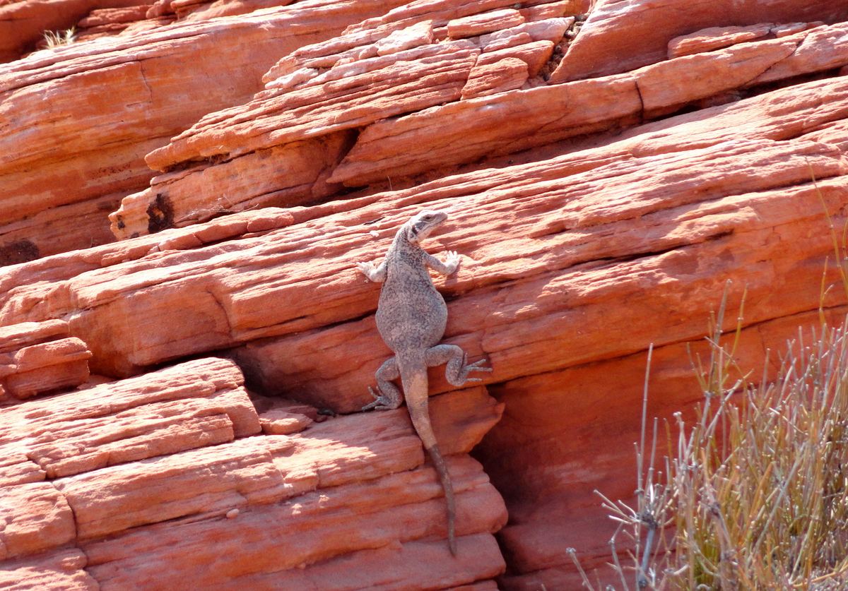
The plant community is dominated by widely spaced creosote bush, burro bush and brittlebush, and cacti such as beaver tail and cholla are common. Notable Mojave Desert species include bighorn sheep, mountain lions, black-tailed jackrabbits and desert tortoises.
Next Door: Lake Mead and the Basin and Range
The adjoining Lake Mead National Recreation Area lies in Clark County, Nevada and Mohave County, Arizona. Most of it, including Lake Mead and Lake Mohave, lies in the Basin and Range physiographic province.
The regional basin and range topography began forming when the earth's crust started to stretch about 17 million years ago. The Great Basin section of that province covers nearly all of Nevada, along with parts of Oregon, Idaho and Utah.
Tours and Activities
Tours and activities
Valley of Fire Questions
Common questions
What elevation does the park span?
Elevations in the park run from 1,320 to 3,009 feet (402 to 917 m), within the Mojave Desert.
What is the red rock made of?
It is Aztec Sandstone, formed from shifting dunes about 150 million years ago. The Early Jurassic formation consists mainly of windblown sand.
How much land does the park cover?
The park covers 40,000 acres of red Aztec sandstone outcrops set in gray and tan limestone.
When did the park open and when was it designated?
The park opened in 1934, and the state legislature officially designated it in 1935. The Civilian Conservation Corps had begun work in 1933, and National Natural Landmark designation followed in 1968.
What wildlife lives in the Mojave Desert here?
Notable species include bighorn sheep, mountain lions, black-tailed jackrabbits and desert tortoises.
What is on the park's east side?
The park abuts Lake Mead National Recreation Area on its east side.
Who named Valley of Fire?
An AAA official in the 1920s saw the valley at sunset and said it looked like it was on fire, and the name was coined then.
What is the scenic byway in the park?
The 10.5-mile section of Valley of Fire Road between the east and west entrances was designated a Nevada Scenic Byway on June 30, 1995.
Sources
- Valley of Fire State Park
- Valley of Fire State Park | State Parks
- Aztec Sandstone
- Geology - Lake Mead National Recreation Area (U.S. National Park Service)
- History of Valley of Fire State Park | State Parks
- Mojave Desert
- NPS Geodiversity Atlas—Lake Mead National Recreation Area, Nevada and Arizona (U.S. National Park Service)
- Basin and Range Province (U.S. National Park Service)